Gulf Coast faces rain, gusts, and sharp drop in temperature this week
Afternoon storms are expected Tuesday and Wednesday before cooler air drives high temperatures into the 70s and 60s over the weekend.
By Amir Navarro ·
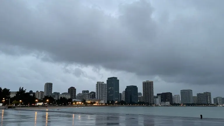
Forecasters for the Gulf Coast region expect a shift from warm, quiet conditions to active weather as showers and thunderstorms return this week. The primary window for precipitation falls on Tuesday afternoon and evening, with a secondary period of scattered activity possible on Wednesday. While a few storms may generate locally strong gusts, the overall risk for severe weather remains low.
Clouds will dominate Tuesday's forecast, with rain probabilities rising to approximately 40 percent after noon. Temperatures are expected to peak near 79 degrees Fahrenheit. Southeast winds will range from 10 to 15 miles per hour, with gusts reaching 20 miles per hour. Most locations will receive light rainfall, generally less than 0.1 inch, though heavier downpours are possible within individual thunderstorms.
Showers and storms will shift eastward later in the day, maintaining around a 40 percent chance of rain. Patchy fog may develop after midnight. On Wednesday, a cold front approaches the region, bringing another round of scattered showers and thunderstorms, particularly in the afternoon. Highs will reach near 82 degrees Fahrenheit, with northern counties potentially experiencing stronger showers than coastal areas.
The approaching front will weaken and linger near the region through Thursday and Friday. Thursday is expected to be mostly dry with partly to mostly sunny skies and a high near 82 degrees. Friday brings a 30 percent chance of scattered showers as a separate disturbance moves through, with highs near 79 degrees.
A noticeable cooldown follows the departure of the weather systems. Cooler, drier air will settle in behind the next system, resulting in mostly sunny skies on Saturday with highs only reaching 75 degrees. Sunday will be even cooler, with a high near 70 degrees. Overnight lows will drop to the 50s on Saturday night and into the middle 40s by Sunday night.
Metereologists note that the risk of organized severe storms remains low because stronger upper-level energy and wind dynamics are expected to move north of the area. Limited instability should prevent storms from becoming widespread. While a few locally gusty downpours are possible, widespread severe weather is not anticipated for the coming week.
Source: WALA-TV