Tides to Rise Two Feet Above Ground Level in Whatcom County
A coastal flood advisory covers the lowlands of Western Whatcom County from 7 a.m. to noon on Saturday, with water levels expected to reach 2.25 feet above the mean higher high water mark.
By Vanessa Lopez ·
Water levels are expected to rise 2.25 feet above ground level in parts of Washington state on Saturday morning. The National Weather Service Seattle office issued a coastal flood advisory on Friday, November 13, for the lowlands of Western Whatcom County. The alert remains in effect from 7 a.m. to noon Pacific Standard Time on Saturday, November 14.
Meteorologists forecast a 9-foot high tide will drive the inundation. The advisory specifies that minor coastal flooding will result from tidal overflow. Residents and visitors should anticipate water covering shorelines and low-lying areas. The depth is projected to range between 1.75 and 2.25 feet above the Mean Higher High Water level.
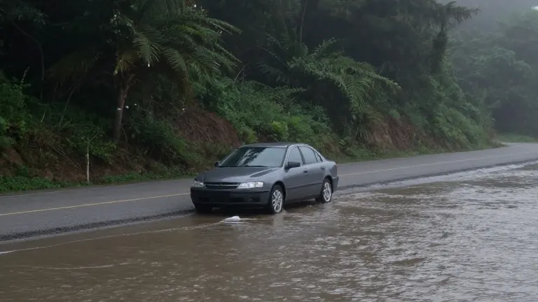
The National Weather Service warns that parking lots, parks, and roads may become submerged. Isolated road closures are expected during the high tide window. Drivers traveling through the area are advised to allow extra time for their trips. Authorities instruct motorists to avoid driving around barricades or through water of unknown depth.
Property owners in flood-prone zones are urged to take protective actions. The advisory defines the inundation depth relative to the Mean Higher High Water standard. This measurement provides a baseline for the height of the water above normal high tide. The event is driven by natural tidal patterns rather than storm surge or rainfall.
The alert applies specifically to the Western Whatcom County zone. The National Weather Service Seattle office monitors these conditions for the Pacific Northwest. The advisory serves as a short-term warning for the specific tidal window on Saturday. It does not extend to other times or locations within the county.