Pea-sized hail and 50 mph gusts expected in Southern California Friday
National Weather Service radar tracks strong thunderstorms moving northeast from Camp Pendleton toward Imperial Beach.
By Amir Navarro ·
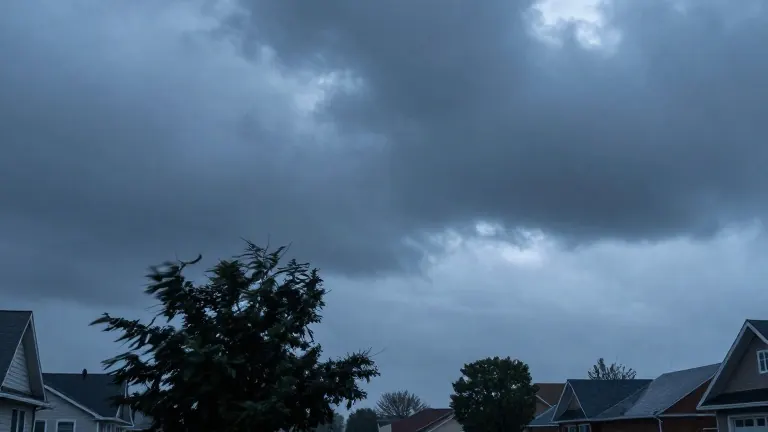
Pea-sized hail, measuring 0.25 inches, is the primary threat expected in parts of Riverside County and San Diego County this Friday, according to the National Weather Service. The agency issued a weather alert at 3:50 a.m. for the Santa Ana Mountains, Foothills, Coastal Areas, and Inland Valleys. This warning remains in effect until 4:30 a.m.
The NWS San Diego office reported that Doppler radar detected strong thunderstorms at 3:49 a.m. These storms formed along a line stretching from Camp Pendleton to Imperial Beach. The weather system is moving northeast at a speed of 25 mph. The alert covers specific locations including Chula Vista, Oceanside, Carlsbad, and El Cajon. Other affected areas are Vista, Encinitas, National City, La Mesa, Poway, and Imperial Beach.
Additional impacted zones include Coronado, Del Mar, Mission Valley, and Hillcrest. The alert also covers Linda Vista, North Park, and the Midway District, which includes Lindbergh Field. Camp Pendleton, Tierrasanta, and University City are also under the watch. Residents in these areas should prepare for gusts reaching 50 mph. The NWS noted that such winds could knock down tree limbs and dislodge unsecured objects.
The forecast includes a possibility of minor hail damage to vegetation. The NWS advised people outdoors to consider seeking shelter inside a building. This recommendation aligns with general lightning safety guidelines provided by the agency. Lightning strikes the United States approximately 25 million times annually. About 20 people die from these strikes each year, according to NWS data.
Experts recommend waiting at least 30 minutes after the last thunderclap before resuming outdoor activities. If indoor shelter is unavailable, individuals should avoid open fields, hilltops, and tall isolated trees. People in groups should space themselves out to prevent lightning current transfer. Camping in open settings during storms is discouraged. Tents offer no protection against lightning.
Heavy rainfall accompanying these storms creates additional hazards on roads. The NWS suggests extending the following distance from two seconds to four seconds when driving in rain. Drivers should stay in middle lanes to avoid pooled water on the outside lanes. Visibility is often reduced by rain-smeared windows and tire spray from large vehicles.
Road surfaces become particularly slippery during the first half hour after rain begins. Oil and grime mix with water to create hazardous conditions. If visibility drops to the point where road edges or other vehicles cannot be seen, drivers should pull over. Rest areas are preferred stops. If stopping on the roadside is necessary, drivers should move past guardrails and use emergency flashers.