Mount Hermon Gets First Snow as Flooding Hits Sharon
Record rainfall caused severe local flooding while the Sea of Galilee level barely moved.
By Marina Weber ·
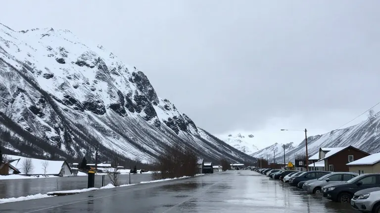
Mount Hermon received the first snowfall of the 2026 winter season during the overnight hours between Sunday and Monday. This precipitation capped a weekend defined by heavy storms and intense rainfall across several parts of Israel. The mountain range straddles the border between Israel and Lebanon. Its highest point under Israeli control is Mitzpe Shlagim, which sits between 2,224 and 2,236 meters above sea level. This specific location hosts the country's only ski resort.
Visual evidence of the weather impact appeared on social media on Sunday. Footage from the Hermon Stream Nature Reserve showed the Banias waterfall surging with force. Water raced through nearby streams immediately after the storms passed through the region. The scenes contrasted sharply with the data coming from the Water Authority regarding the Sea of Galilee, also known as the Kinneret.
Despite record rainfall lashing central and northern Israel, the lake rose by only one centimeter over the weekend. The water level now stands at 213.70 meters below sea level. This figure remains 39 centimeters lower than it was at the same time last year. Water Authority spokesperson Itay Dudi reported that roughly 20 millimeters of rain fell directly over the lake during the weekend. At the same time, the Jordan River was flowing at six cubic meters per second.
Dudi characterized the impact of the rain on the river as small to negligible. He noted that most precipitation from the current weather system landed on the coastal plain, particularly in the south. He added that over the past decade, three winters recorded worse figures. Exactly ten years ago, the water level was 3 centimeters higher than it is today. Authority data places the current lake level among the lowest ever recorded for November 8 in the last ten years. However, conditions in 2017 and 2018 were worse, with levels sitting 58 and 94 centimeters lower, respectively.
The Sharon region experienced some of the most severe flooding during the weekend. Several areas of Kadima-Zoran were inundated. Local council officials urged residents to remain indoors and avoid non-essential travel. Crews later moved out to clear hazards, remove blockages, and drain standing water from the streets.
Figures from the Israel Meteorological Service indicated that the Kadima weather station logged a record 117 millimeters of rain in just an hour and a quarter. This amount is exceptional for the Sharon area. The combination of snow at the highlands and flooding in the lowlands marked a distinct start to the winter season.